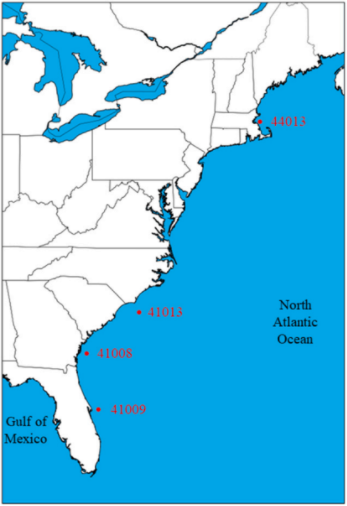
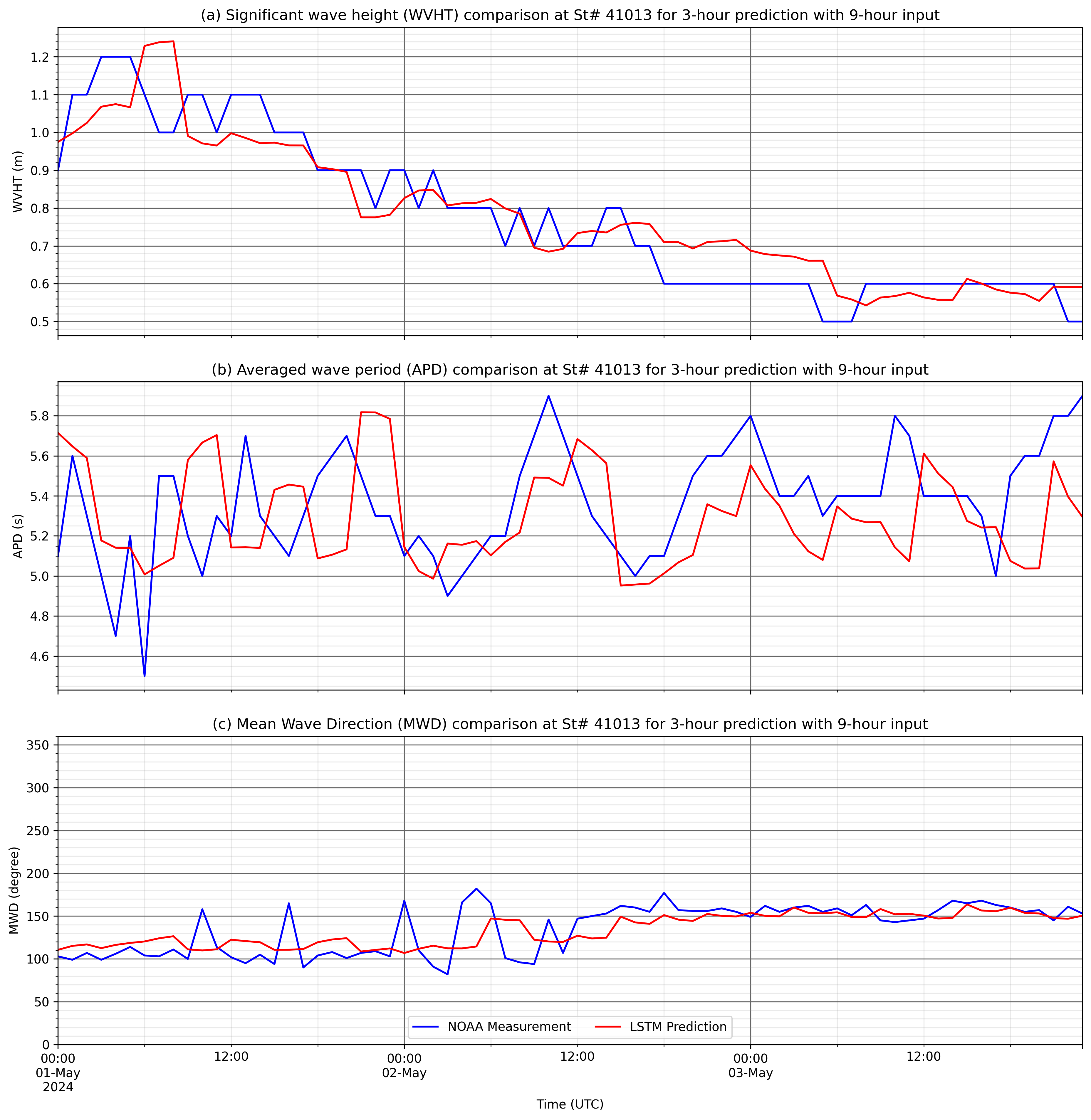
Station 41013 - Frying Pan Shoals, NC
Owned and maintained by National Data Buoy Center
3-meter foam buoy
SCOOP payload
33.441 N 77.764 W (33°26'28" N 77°45'50" W)
Site elevation: sea level
Air temp height: 3.7m above site elevation
Anemometer height: 4.1m above site elevation
Barometer elevation: 2.7m above mean sea level
Sea temp depth: 1.5m below water line
Water depth: 33m
Watch circle radius: 78 yards
Select station on the map you wish to view >>>